
Join the UndercoverEisAgenten project!
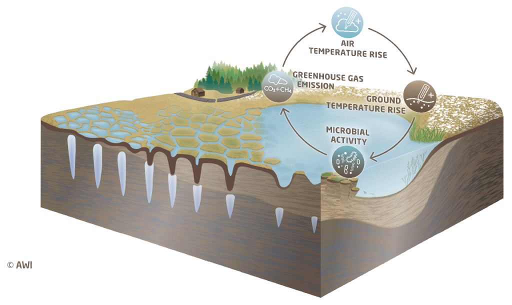
What is the effect of permafrost thaw on global warming?
Permafrost stores large amounts of carbon in the form of organic material, such as plant and animal remains. Frost prevents this material from decomposing because microbial decomposition is inhibited.
But as the climate warms, more permafrost thaws – both deeper into the surface and for longer periods of time. Microorganisms decompose the organic material and release methane and carbon dioxide. These are greenhouse gases, which in turn contribute to global warming – a self-enhancing process of permafrost thaw
How do I recognize permafrost?
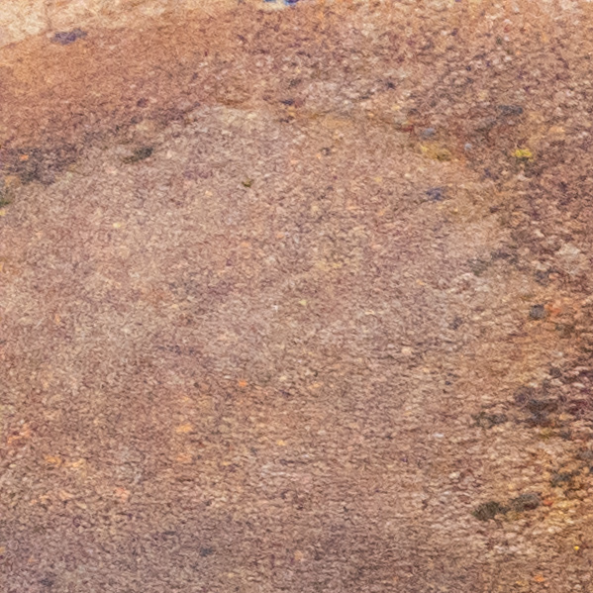
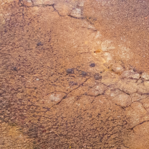
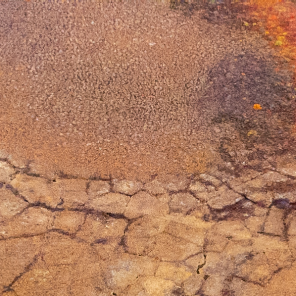
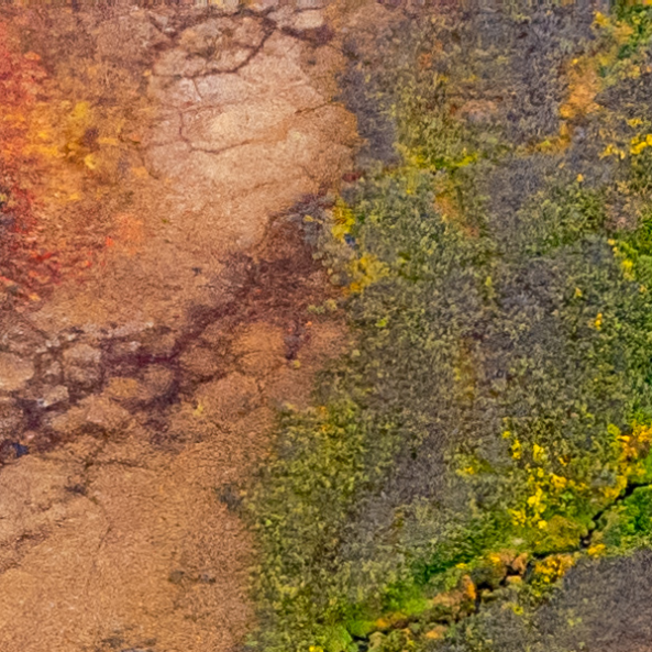
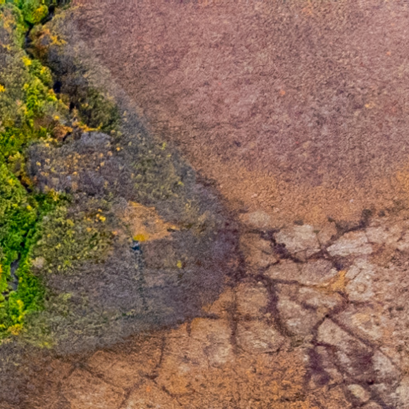
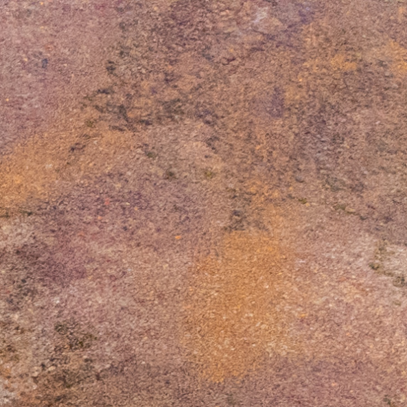
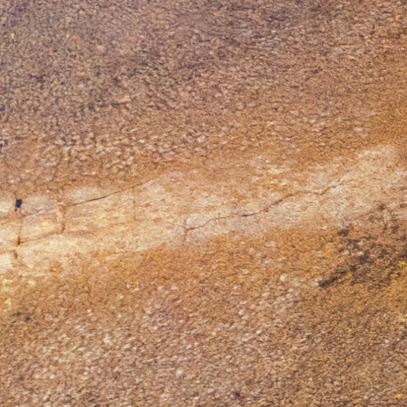
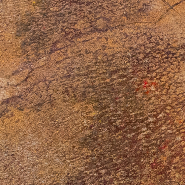
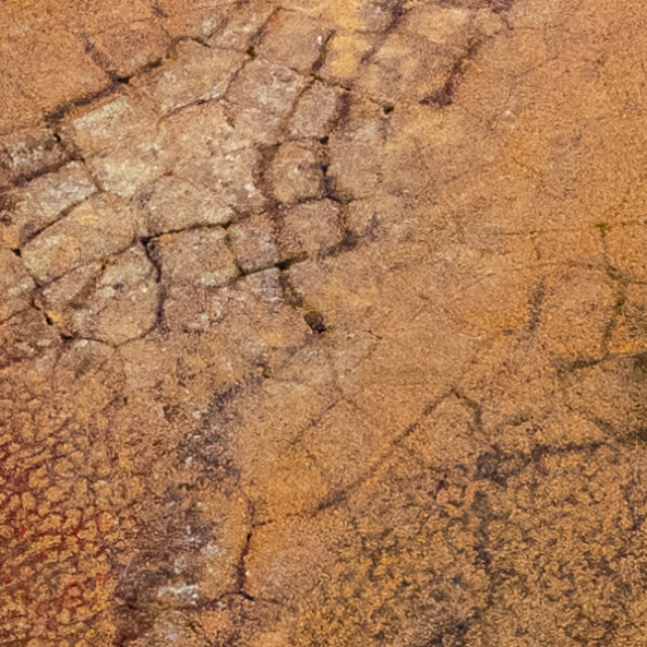
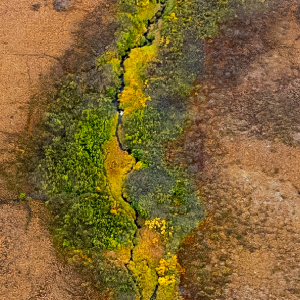
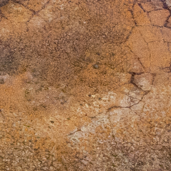
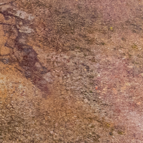
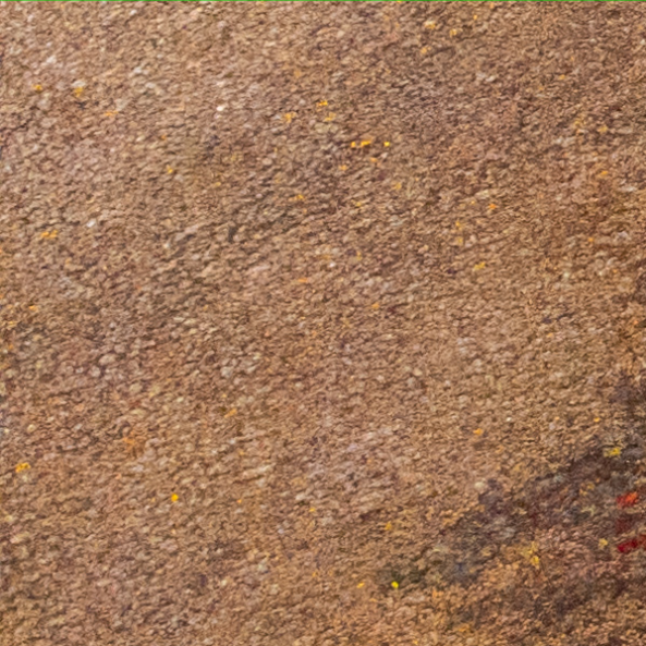
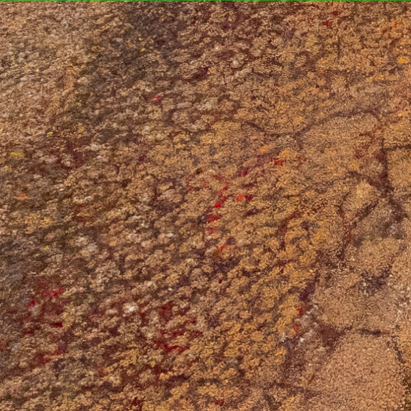
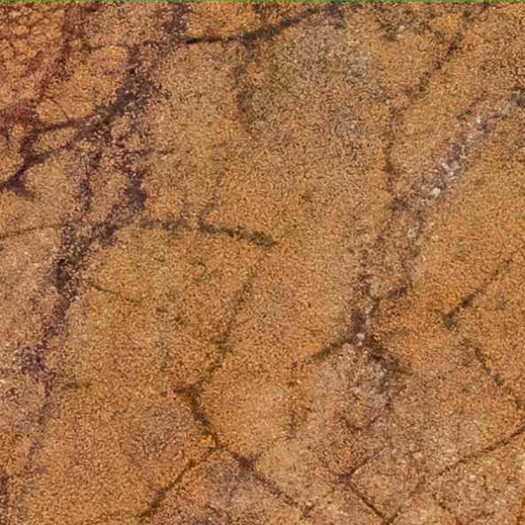
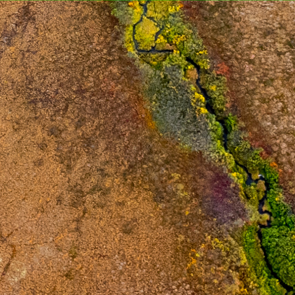
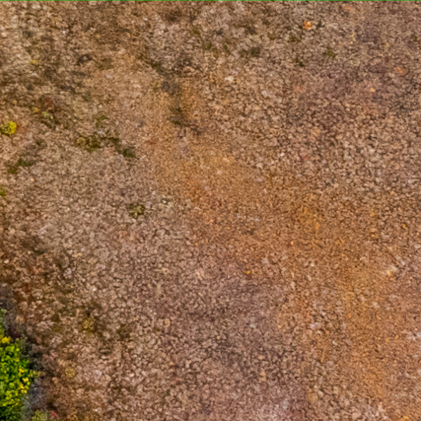
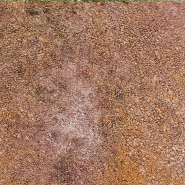
From the land surface, permafrost is only indirectly evident. However, the frozen ground creates typical surface structures in the form of polygonal nets. These polygons are visible via drone imagery.
Permafrost polygons are formed by alternating freezing and thawing of the ground. During very cold temperatures in winter, the ground contracts and creates small cracks. In spring, meltwater from snow collects in these cracks, in the following winter a new crack can form. These freezing-thawing cycles repeat over many years and form networks of ice-wedges in the ground. The polygon networks at the surface are thus an indicator of permafrost. This is why ice-wedge polygon mapping is helpful to find out where permafrost is located.
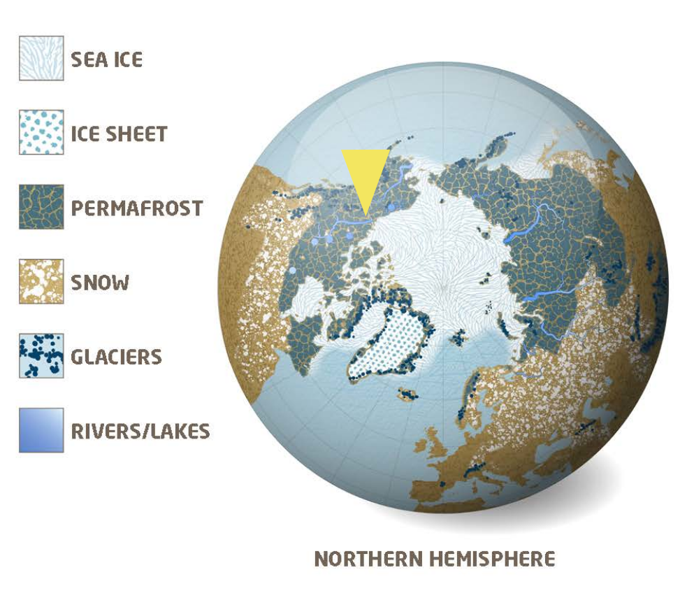
Where do we find permafrost?
About 15 % of the northern hemisphere land is characterized by permafrost, most of it in the Arctic.
The yellow arrow points to the Canadian town of Aklavik. Aklavik is a key location in our project as we are cooperating with the local school, the Moose Kerr School. Students of the school are the pilots who collect the drone images of the area.
Drone imagery allows us to monitor permafrost changes throughout the Arctic. These images are now being analyzed by citizen scientists like you.
Here is how it works
Permafrost creates a variety of complex polygonal patterns. They are too complex for automated image analysis. As part of the UndercoverEisAgenten you are mapping a set of drone images together with other volunteers. By doing so, work as a team to help an artificial intelligence to improve image pattern classification and, which is an important contribution to permafrost research.
The collected data is important to understand the consequences of climate change in the Arctic. The acquired data will help researchers to verify and improve climate models. Furtheron, we hope to support Arctic residents in risk assessments of their environment.
Below you can see what a mapped drone image might look like.
No
Yes
Yes
Yes
Yes
No
Yes
Yes
Yes
Yes
Yes
Yes
No
Yes
Yes
Maybe
No
No
The UndercoverEisAgenten app
Read to join and detect permafrost yourself? Create a mapping account and select a project.
In our tutorials you learn how to map the permafrost structures. You can also find them in the app via the “More Info” button. If you have any suggestions or questions, please send us a message to: undercovereisagenten@awi.de.